Free drinking water in Bern: all fountains on one map
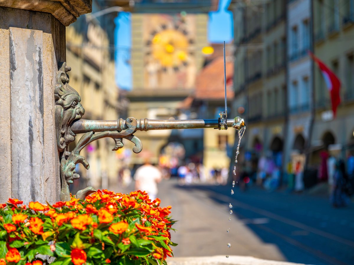
Bern has fountains on almost every corner. Bern Trinkwasser shows you the nearest one you can drink from, with walking route and walking time.

How it works
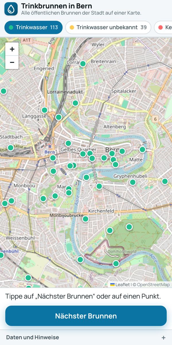
- Open Bern Trinkwasser. Green dots are fountains with drinking water.
- Tap “Nearest fountain”. The app shows the distance and the walking route.
- “Route” opens the directions.
What do the colours mean?
Green means: recorded as drinking water in OpenStreetMap. Yellow means it is not known whether the water is drinkable. Red means no drinking water. When you open the app, only the green dots are switched on. The sign at the fountain always comes first: if it says “Kein Trinkwasser” (not drinking water), do not drink, even if the dot is green. Springs in the woods, such as the Glasbrunnen in the Bremgartenwald, are not reliably drinkable.
Where does the data come from?
From OpenStreetMap (ODbL), reloaded every week. A fountain counts as drinkable if it is recorded that way there. If a fountain is missing, you can add it in OpenStreetMap.
Also worth reading
Kühl & warmToolBarrierefrei BernToolKindlifresser FountainArtFountain water in Bern: can you drink it?ArticleText: Richard Červenka, Bärn Kit. Found a mistake? Write to hallo@uebrig.ch.