Architecture & monuments: Bern’s listed buildings on the map
Bern has many historic buildings. On the map Art in Bern you can switch from art to architecture and monuments.

How it works
- Open the map Art in Bern and tap “Buildings” at the top, next to the language switch (on large screens “Architecture & monuments”).
- The buttons at the top hide groups: worthy of protection, worth preserving or other cultural property.
- Tap a dot or “Building nearby”: you see the photo, name, address, classification and the way there.
The layer shows 638 buildings and monuments of the city of Bern, all with a photo. The Bauinventar, the building inventory of the Canton of Bern, lists 6460 buildings in the city of Bern. The map shows the 602 of them that have a free photo: 594 worthy of protection (orange dots) and 8 worth preserving (blue dots). In addition there are 36 other items of cultural property (violet), such as fountains, bridges and monuments that have no address of their own in the inventory. The numbers come straight from the data and change when the inventory is updated or new photos are added.
Open the map with architecture & monuments
Worthy of protection, worth preserving
The Bauinventar is the list of historic buildings kept by the heritage office. For the city of Bern, the city’s own heritage office keeps it. Worthy of protection (schützenswert) means a particularly valuable building that should stay as unchanged as possible. Worth preserving (erhaltenswert) means a good, typical building that should be kept and cared for. Many buildings also belong to a building group, an ensemble that counts as a whole. The dot tells you that too.
Photo, name, year built and architect
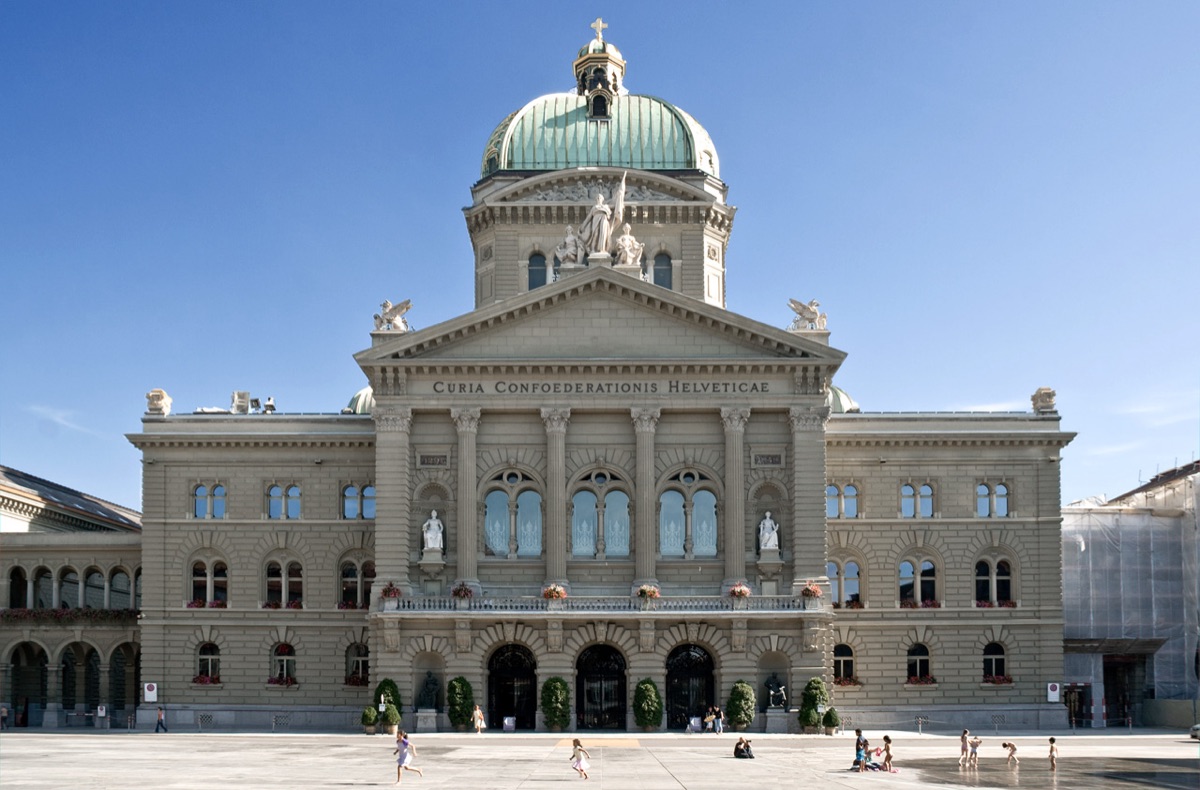
The inventory itself contains no names and no photos. We add the name, the year built and the architect from Wikidata, but only where the address matches exactly. For 542 of the 638 dots Wikidata gives a year. On the map it is labelled “Built (Wikidata)”, because it comes from Wikidata, not from the inventory. For the Federal Palace, for example, it says: built (Wikidata) 1902, architecture Hans Wilhelm Auer, cultural property of national significance. Every photo comes from Wikimedia Commons, always with the photographer’s name and the licence. We do not show interior photos.
We deliberately do not copy descriptions: the heritage office’s texts belong to their authors. If you want to know more, open the heritage office’s object sheet (PDF, in German) from the dot.
Good to know
Most buildings are private. Please look at them from the street and do not enter gardens or courtyards. The classification on the map is an extract and not legally binding; the heritage office’s inventory is.
Sources and thanks
Bauinventar © Amt für Kultur des Kantons Bern, kept for the city of Bern by the Denkmalpflege der Stadt Bern (metadata in the geoportal of the Canton of Bern). The data may be used freely; crediting the source is required. Names, years built and architects come from Wikidata (CC0), the photos from Wikimedia Commons. Thanks to the heritage offices of the canton and the city of Bern and to everyone who looks after Wikidata and Commons. Photo at the top: Flooffy, CC BY 2.0.
Also worth reading
Art in Bern: the mapMapThe street is our galleryArtWhere does the data come from? Open data and OpenStreetMapArticleData: Kultur Stadt Bern (open data “Kunst im öffentlichen Raum”), © OpenStreetMap contributors. Text: Richard Červenka, Bärn Kit. Found a mistake? Write to hallo@uebrig.ch.