Barbecues in Bern: public fire pits on a map
Sausages packed, good weather, but where is the nearest fire pit? Grillstelle Bern shows you the public barbecue spots and fire pits and the current forest fire danger.

How it works
- First check the forest fire danger above the map, and on naturgefahren.be.ch whether a fire ban is in force.
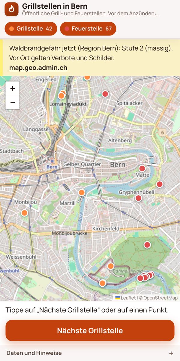
- Tap “Nearest barbecue spot” (Nächste Grillstelle). The app shows the distance and the walking route with walking time.
- “Route” opens the directions, “Route in OSM” opens the route in OpenStreetMap.
Barbecue spots and fire pits
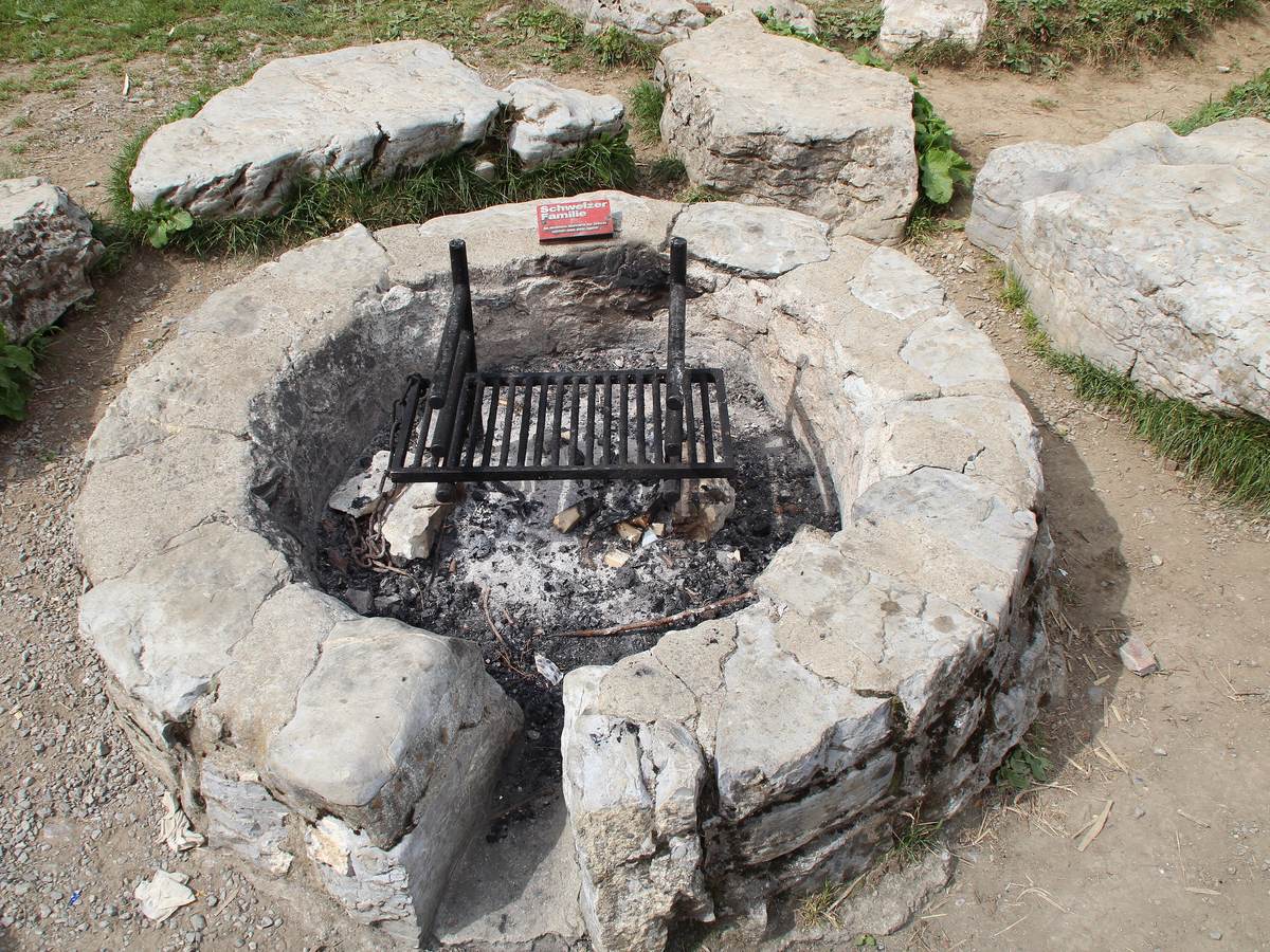
Both types have their own colours and can be switched on and off separately at the top. The number next to them shows how many there are. Tap a point to see what is recorded: for some spots “wood on site” (Holz vor Ort), for others a name such as Grillplatz Düfti or Grillplatz Muri.
Forest fire danger first
Above the map you see the current forest fire danger for the Bern region: level 1 to 5, from “low” to “very high”, with a link to map.geo.admin.ch. If the level does not load, the page shows the bulletin of the Canton of Bern with its date.
The danger level is not a fire ban. Fire bans are issued by the Canton of Bern. They apply in the forest and at its edge, including at fixed fire pits, and also where there is no sign. Whether one is in force is shown on naturgefahren.be.ch under “Waldbrand”. Signs on site apply as well.
Where does the data come from?
The barbecue spots and fire pits come from OpenStreetMap (ODbL). The forest fire danger is assessed by the Canton of Bern (Office for Forests and Natural Hazards). The page loads the level live via the federal geodata service (FOEN/BAFU, geo.admin.ch). The request contains only a fixed point in Bern, never your location. No tracking: only the routing service gets your location, and only the start and end of the walk. If a spot is missing, add it directly in OpenStreetMap.
Also worth reading
Bern TrinkwasserToolGardening without a garden: gardens in BernArticleFree drinking water in BernArticleText: Richard Červenka, Bärn Kit. Found a mistake? Write to hallo@uebrig.ch.